


Twelve miles of clifftop path with the sea on your right the whole way.
The walk starts at the bus shelter in Hollin Bay, where the last stop on the coast road gives way to a gravel car park and a wooden signpost that simply says “Headland – 12 miles”. It is not the most generous of introductions, but within five minutes the path has climbed out of the village and the sea opens up on the right, wide and grey-green, and from then on it never leaves.
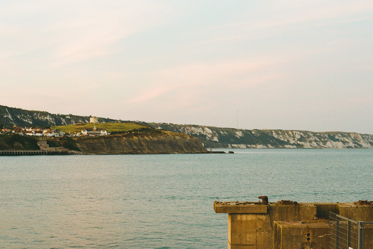
The White Headland takes its name from the chalk cliffs that rise to more than 120 metres along its southern face. They are the brightest thing on this coast, visible from Port Selwyn on a clear day, and walking along their top is a strange experience: the land to your left is ordinary sheep pasture and hedgerow, while to your right the ground simply stops and the gulls wheel below your feet.
The first six miles
The early miles are gentle. The path follows the cliff edge past a series of small coves, each reached by a steep track that walkers with the energy can descend for a paddle. At Gull’s Hole, about two miles in, the sea has carved an arch through a chalk stack, and at low tide you can walk beneath it. There is a narrow bench at the top of the track, dedicated to a couple who, according to the plaque, “walked here every Sunday for fifty years”. It is a good place for a first rest.
Beyond Gull’s Hole, the path climbs steadily towards the old coastguard lookout, a squat white building that is now run by volunteers as a watch station. On weekends they will let you look through their telescope and tell you which seabirds are nesting on the ledges below. Fulmars and kittiwakes are common; in late spring there are puffins, though you will need patience to spot them.
“Most people walk too fast on this stretch. The cliffs change every hour with the light, and if you keep your head down you miss half of it.”
That was the advice from Gwen Arkwright, a volunteer at the lookout for eleven years, who keeps a logbook of every walker who signs in. She estimates that about 40 people a day attempt the full route in summer, and perhaps a dozen in winter.
The high ground and the descent
The middle section is the most exposed and the most rewarding. Between the lookout and the trig point on Beacon Hill, the path runs within a few metres of the edge for almost two miles, with no fence and no shelter. In good weather it is exhilarating; in wind or fog it can be genuinely dangerous, and the coastguard asks walkers to check the forecast and turn back if gusts are expected above 40 miles an hour. The trig point itself, at 147 metres, is the highest point on the walk and offers a view east to the lighthouse at Harrow Light and west, on a clear day, as far as the mouth of the Ardle.
From Beacon Hill, the path descends gradually through gorse and bracken towards the hamlet of Saltcote, where the cliffs soften into a wide shingle bay. There is a small tea room here, open from Easter to October, which serves crab sandwiches and thick slices of fruit cake. In winter, the village shop sells hot drinks from a flask and is used to walkers arriving cold and grateful.
Practicalities
The final three miles follow the bay and then climb once more over a low ridge to the fishing village of Skerrow, where the route ends at the harbour wall. Allow six to seven hours at a steady pace, including stops. Boots with good grip are essential, as the chalk is slippery after rain, and there is no drinking water between the lookout and Saltcote. A bus runs from Skerrow back to Hollin Bay every two hours until early evening, but check the timetable before setting out, because the last service in winter leaves at 4.15.
The walk can be done in either direction, but doing it from Hollin Bay keeps the sea on your right and the afternoon sun behind you on the final descent. By the time you reach Skerrow, the cliffs you started on will be a faint white line on the horizon, and your legs will know exactly how far you have come.